The railroad bridge at Phoenix Park, which is lighted with brightly colored LEDs at night.
With two rivers and a lake in the heart of our town, there are some amazing bridges to be crossed.
On this epic ride you’ll cross ten of them (a few multiple times, and eight of which are pedestrian/bike-only), as well as enjoy five city parks, ride through two tunnels, and see many sights along the way.
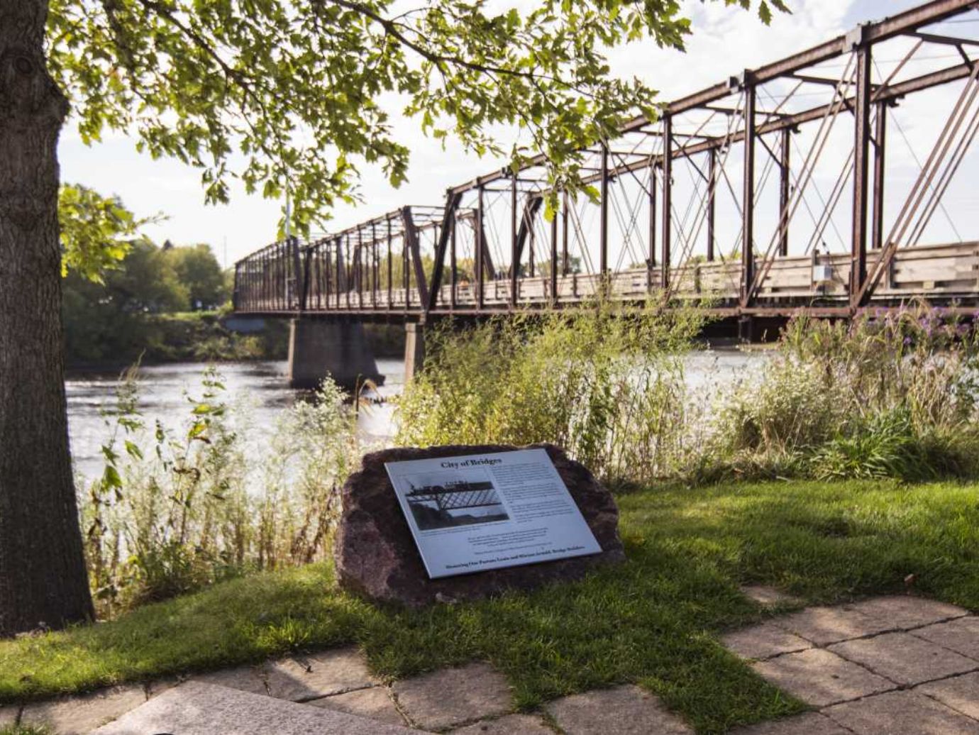
First stop is the iconic S-bridge over the Eau Claire River alongside the historic Banbury Place (the old Uniroyal Tire Factory), and a short ride to cross the footbridge to loop around Boyd Park. Then it’s back downtown to Phoenix Park to cross the rail bridge there, and past two local breweries (The Brewing Project and Lazy Monk) on your way to the sweeping views of the High Bridge, overlooking the Chippewa River and the dam at the Cascade paper plant.
Ride back down into Phoenix Park, across the river again, and make your way through the trail tunnel to eventually cross the land bridge over Half Moon Lake for a stroll through the wooded Carson Park. Then it’s off to yet another incredible rail trail bridge (your fourth at this point) and a ride down what is arguably the most beautiful stretch of urban trail along the Chippewa River and into the Water Street District.
Now it’s up to cross the footbridge onto the beautiful UW‑Eau Claire campus where you’ll find the heavily wooded gravel trail of Putnam Drive and its iconic tunnel under State Street.
Soon you’ll pop out in the historic Third Ward neighborhood where you’ll make your way back to campus to cross again, then ride through Owen Park to the Grand Avenue District to traverse yet another pedestrian bridge to Haymarket Plaza and the Pablo Arts Center. There you’ll make your final river crossing on the rainbow-lighted arch bridge over the Eau Claire River before returning back to The Local Store. Whew!
While mileage for these loops and routes are accurate, the time offered is only an estimate. These times reflect a very casual pace of 12mph, assuming the occasional stop or photo opportunity, etc. Of course if you plan to get off your bikes to shop, eat, or sightsee, you’ll need to plan for more time.
Both printed and digital route maps are available when you check in for your rental.
Download the Ride with GPS App to put these routes on your phone. We’ll provide instructions when you check in.
RideWithGPS usually requires a yearly membership (of about $60). But we've arranged for you to use it for free.
Step 1) Download the App
Step 2) Make an Account
Which requires: your name, email, and make up a password
Step 3) Follow Us
After you've created your account, follow “Eau Claire E-Bike Rental” on RideWithGPS, which makes the app FREE for you to use.
It can be helpful to put in one earbud so you can hear the direction cues, while keeping the other ear open for your surroundings. When following along visually, please be careful and stop before looking too hard at your map.
Leave a Review!


